
Bartlett Neighbors: a Block Evidence Guide
A block is made up of parcels, addresses and community boundaries that do not always line up with one another. Shelby County's public tools offer a method for examining the land around a Bartlett address, while the City of Bartlett supplies geographic and neighborhood context. None of these sources is a complete household list. The table distinguishes the source's real function from an assumption about who may be living behind each door.
| Block source | Useful Bartlett block detail | Access and limit |
|---|---|---|
| Shelby Register parcel GIS | Selected parcel, adjoining parcel outlines, owner and property fields, plat clues | Public viewer; click each parcel individually; aggregation carries an April 2019 warning |
| Assessor property search | Address, owner, business or parcel route to a selected property | Public forms; property field availability depends on the selected result |
| Register deed index | Recorded parties, transfer type, dates and legal-description chain | Address, party, instrument, book/page and parcel routes; not every document includes a street or ZIP |
| City address portal | Address points, ZIP or ZIP+4, subdivision, city limits and map layers | Geographic information only, with no resident or owner field |
| Permit map | Address or parcel project, date, status and work-type clues | Project evidence, not proof of a household or legal compliance |
| Neighborhood inventory | Published neighborhood, HOA and Watch group names | City contact layer; no membership or household directory is published |
Start with the official map when you need the parcels immediately beside an address. Use a deed when the question is timing or recorded transfer history. Use the City map for street, subdivision and ZIP context. Each record describes its own slice of the block.
Map Bartlett Neighbors One Parcel at a Time
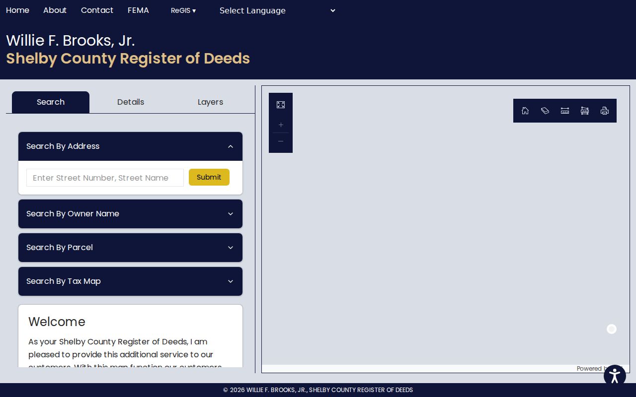
The Shelby Register GIS viewer has address, owner name, parcel ID and tax map ID paths, plus a map selection option. Its stated surrounding-parcel view supports a paced parcel-by-parcel check. A public buffer or radius tool intended to create a bulk neighbor list was not documented, and the more careful manual method avoids reading more into a map than it shows.
- Enter the known street number and street name, or use a parcel or tax map ID to select the starting Bartlett parcel.
- Record the selected parcel's property address, parcel ID, tax map, lot, subdivision, plat book and page, and owner name.
- Click one adjoining outline at a time and record each neighboring parcel's own labels rather than carrying data from the first card across the block.
- Compare lot, subdivision and plat fields to understand how the parcels fit together. Use the recorded-document index if a transfer date or recorded party needs context.
- Use the City address map to check nearby address points and boundaries. For a full named-street workflow, use the Bartlett street directory.
The viewer is informational, not a legal survey or an exact ownership-boundary statement. Its own disclaimer directs a current transaction question to Register records. That makes it a good starting point for nearby lots, followed by the document or custodian that answers the next question.
The Register GIS viewer provides the map-based starting point for this careful block workflow.
What Bartlett Neighbors Fields Actually Mean
A selected parcel card can label Owner Name, Owner Address, Property Address, Parcel ID, Appraisal, Tax District, Tax Map, Year Built, Lot Number, Subdivision, Plat Book and Page, dimensions, acres, class, use and coordinates. Those labels matter. Property Address identifies the parcel situs. Owner Address is correspondence information and might be a post-office box, estate representative, business address or another residence. The owner field is not a list of all people at the property.
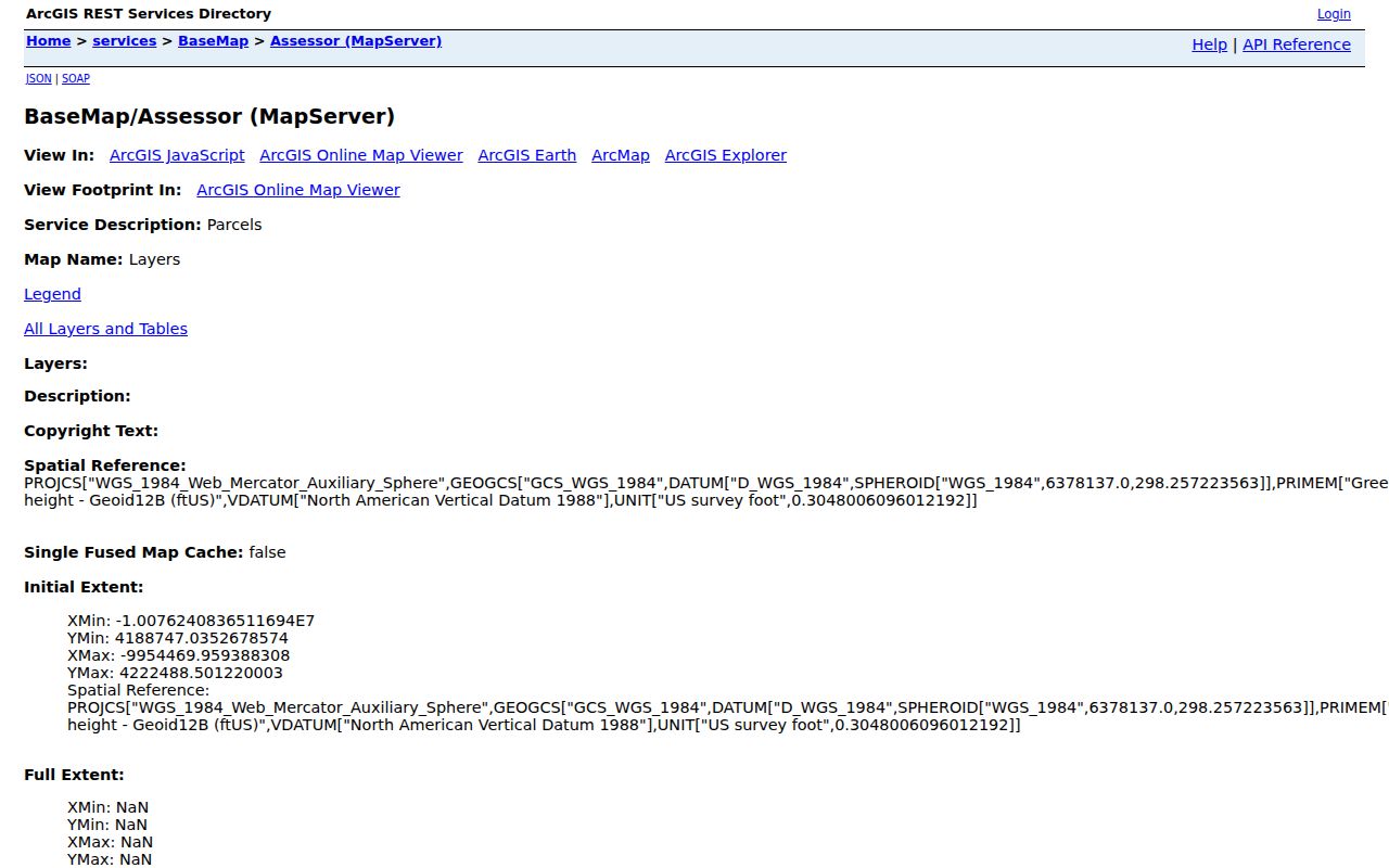
The County's ArcGIS Assessor service documents a parcels layer and an owner-details table. The service describes authoritative map data, yet the end-user viewer remains the verified way to inspect a chosen parcel. Read a parcel, its map placement and its recorded documents together, and take any boundary question to the plat, survey or appropriate custodian.
The Shelby County Assessor map service identifies the parcels and owner-details layers behind this distinction.
Place Bartlett Neighbors in Time With Recorded Deeds
When a nearby parcel needs a dated transfer trail, search the Shelby Register official-record index by address, party, document number, book and page, parcel and lot, or instrument type. Its address guidance says to leave street direction and type off, and it permits date limits. If a document does not return under the street, use the parcel ID without spaces or dashes, subdivision and lot, legal description, instrument number, or recorded party.
A confirmed instrument can identify a grantor, grantee, document type and recording reference. Search the seller as an earlier grantee only after checking the recorded purchase. Warranty deeds, quitclaim deeds, substitute trustee deeds and mortgages do not mean the same thing, and a comparable-sales list is not a complete chain. The Register is a recording office, not a title-search service.
Recorded party versus neighbor. A grantor or grantee is a party to a recorded instrument. That is evidence of a transaction, not proof that the person now lives at the parcel or is part of a current household.
Use Bartlett Address Geography Before Looking for Neighbors
The City Map Portal links a citizen dashboard that searches by location or address and exposes address points, building footprints, city limits and map layers. The address-point schema includes street components, unit or building, formatted address, subdivision or landmark, USPS ZIP and ZIP+4, MSAG community and county, coordinates, lifecycle and source-date information. This is valuable for locating a block correctly, especially where the postal label does not settle the municipal boundary.
Four ZIPs appear in the City's address-point data: 38002, 38133, 38134 and 38135. Those are address-point counts, not a count of neighbors or residents. A Bartlett situs can also have a Memphis mailing city in a parcel field, so distinguish city status, property address and owner mailing address before making a local connection.
Bartlett Neighbors and Permit Map Change Evidence
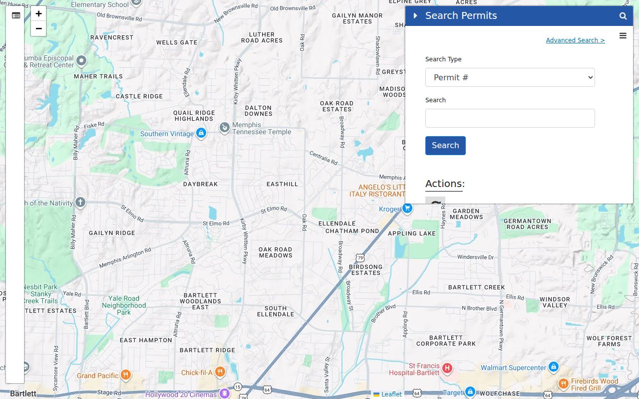
Address-level projects can explain a change visible on a parcel or aerial, but they do not identify everyone connected to a home. Bartlett's permit system separates existing searches before and after April 11, 2024. Its map accepts permit number, parcel number or address and supports start/end date, work status, work type, priority, project type, class and zoning filters, including last 30-, 60- and 90-day views.
An official Bartlett permit parcel map shows the available address and parcel filters.
Existing results label items such as permit number, date, permit type, primary contractor, project type, description and status. A contractor access code is needed for the inspection-request workflow, and public detail can vary. For older or gated city records, a focused public-records request to the City Clerk or appropriate department should name the address and time period.
Bartlett Neighborhood Groups Are Not Neighbor Lists
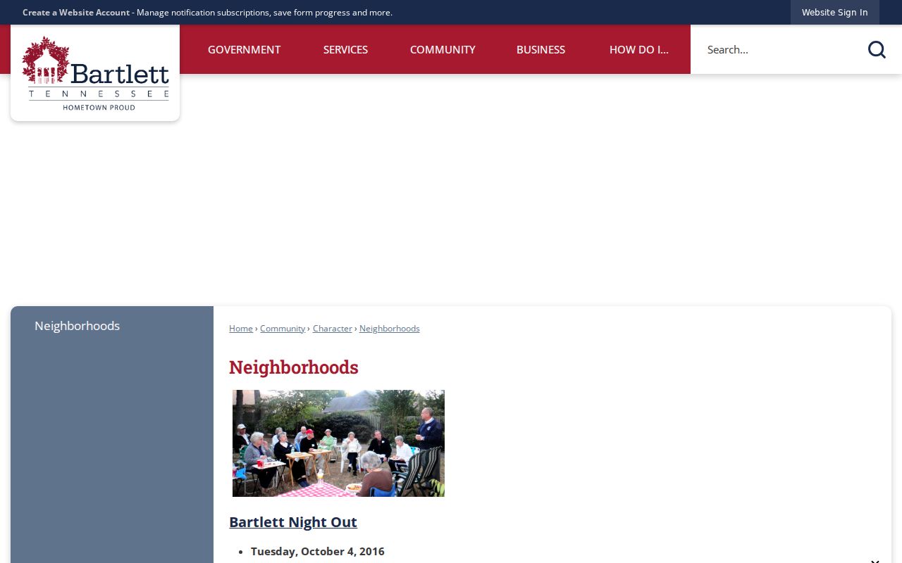
The City's Neighborhoods inventory says Bartlett has over 70 active homeowner associations and Neighborhood Watch groups. The separate Neighborhood Watch page says approximately 60 organized groups. Both descriptions are retained because they come from distinct city pages and are not a precise membership count. The inventory provides local context for a block, while the city does not publish household directories, membership lists or direct group contacts.
| Published Bartlett group or area | What the City inventory establishes | What is not published |
|---|---|---|
| Old Historic Bartlett and Bartlett Woods | Named neighborhood areas in the City's inventory | Private member, household or contact roster |
| Brunswick Village and Davies Plantation | Named community or neighborhood context | Proof that a person at an address is a member |
| Altruria Creek and Wellsgate | Named areas listed by the City | Membership, voting or household information |
| Windolyn and Wolfchase Farms | Published neighborhood references | Personal directory or resident list |
The City directs group inquiries through police public-information and education channels. That makes the inventory useful for community orientation, not for discovering private contact information. The Bartlett Neighborhoods inventory documents the names and its limited scope.
Privacy Limits on Bartlett Neighbor Research
Official property and civic records each have a limited purpose. GoVoteTN is voter-specific, requiring a voter name and ZIP or a street address and ZIP, and it returns ballot, place and district information rather than an open street roll. A fuller Shelby County voter-list request requires Tennessee residency and a political-purpose certification; the request form lists district names-and-addresses data at $18, a broader registration product at $40, and a blank district map at $10. Protected voters, statutory identifiers, people who are not registered, and other household members remain outside a complete block list.
Commercial neighbor-search categories can combine old and new data, yet the category has no authority to replace a recorded document, parcel card, city map or custodian response. Use official sources for the fact each one actually keeps, then check its date and field labels. Tennessee's Safe at Home program protects participant voter records through a substitute-address process, and City public-records handling may redact personal identifying information.
Lawful use. Bartlett neighbors research can support community orientation, family connections, civic curiosity and personal safety awareness. Do not use records or maps to watch, stalk, harass, intimidate, or harm another person.