
Bartlett ZIP Code Coverage
Bartlett’s City address-point layer had four distinct USPS ZIP values in the 2026-09-01 snapshot: 38002, 38133, 38134, and 38135. The counts below are address-point records in the City map, not population, parcel, voter, or resident totals. That distinction matters. A large count shows mapped address locations, not how many people live there. Use the table as a geographic starting point and verify a particular mailing address with USPS.
| ZIP code | Mapped address points | Examples of mapped areas | Post office or boundary note |
|---|---|---|---|
| 38002 | 3,545 | Abbington Woods, Brunswick Farms, Delaney Square, Wolfchase Farms | City map confirms municipal address points; facility assignment was not located. |
| 38133 | 4,348 | Bartlett Grove, Brunswick Village, Summerdale, Windolyn | City uses it for the Records Division address; facility relation was not independently located. |
| 38134 | 5,553 | Bartlett Estates, City Municipal Complex, Stage Road Business Park | USPS facility at 2966 Elmore Park Rd is labeled Memphis, TN 38134-9998. |
| 38135 | 8,245 | Altruria Creek, Chatham Pond, Wellsgate, Westbrook Farms | City map confirms address points; delivery-unit status was not located. |
The City map identifies a mix of historic and newer areas, including Old Historic Bartlett, Bartlett Woods, Brunswick Village, Davies Plantation, Wolfchase Farms, Altruria Creek, Wellsgate, and Windolyn. Neighborhood, municipal, and ZIP boundaries overlap imperfectly, so the map value should be checked against the question being asked.
Confirm a Bartlett ZIP Code With USPS
USPS ZIP Code Lookup is the address-level check for a particular Bartlett mailing address. Use the address option rather than relying on a directory result or a mailing-city label copied from another record. USPS warns that a ZIP lookup does not establish that a named person or company is at an address. It only helps confirm postal addressing. That limit is especially useful where a property field and a mailing field do not agree.
The verified 38134 USPS facility has a Memphis postal-city label. That label does not decide whether an address is within Bartlett’s city limits, what city services apply, who owns a parcel, or whether any person resides there. It is a postal label. City incorporation, property situs, and recorded land description are separate questions.
The USPS lookup tool provides the address confirmation route.
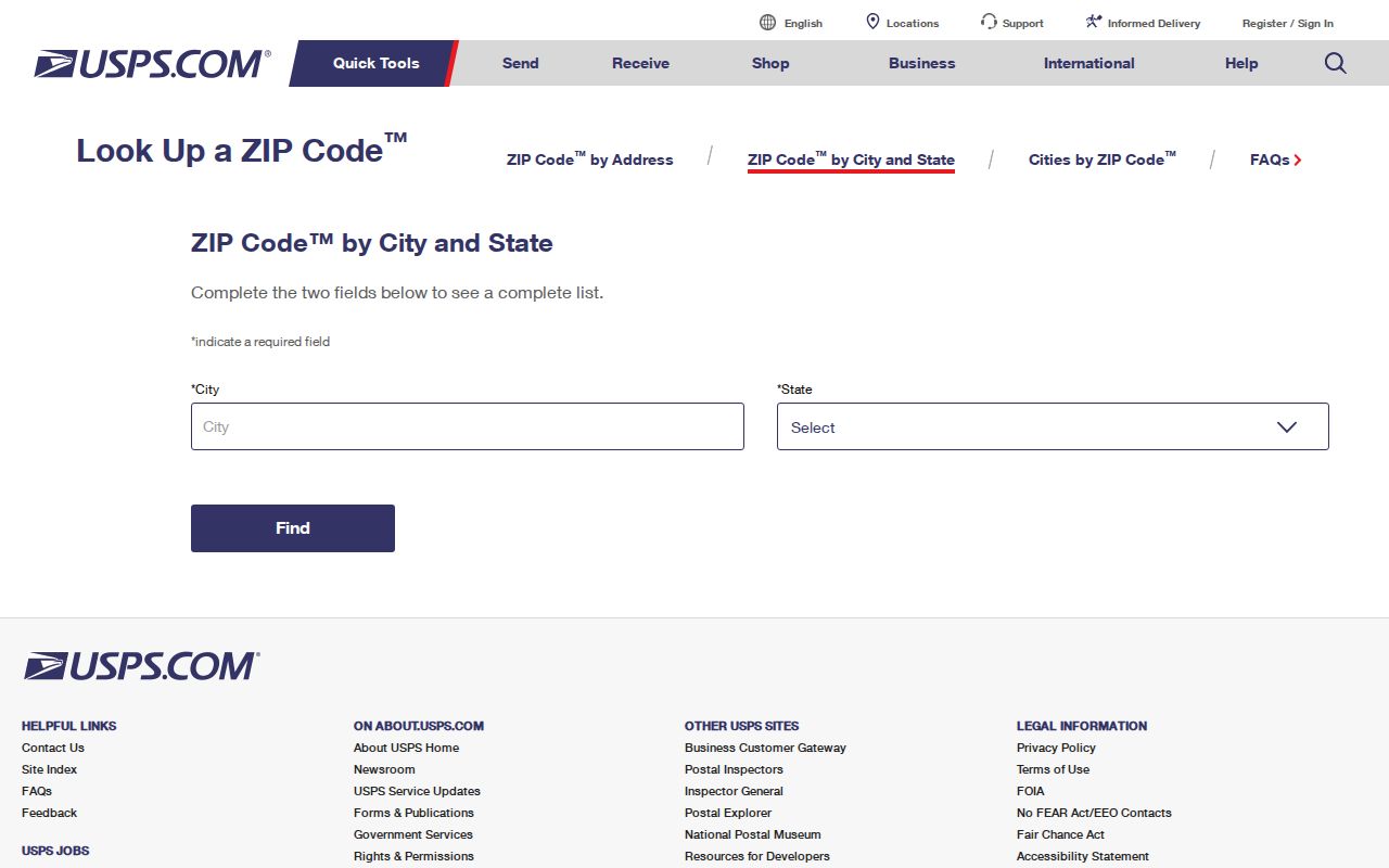
Confirming the postal code first reduces a false negative when a county index or map contains a different mailing-city label.
Search Bartlett Records by ZIP Code
A ZIP code is a filter or verification field in the local record trail, not a full person-search key. The Shelby Register’s comparable-sales and document-search mode includes City, Zip, SubDivision Name, Start Date, End Date, and Instrument Type fields. Its own notice says city, ZIP, and subdivision do not appear on all documents. A result therefore represents only the documents carrying that value, not all addresses or people associated with a ZIP.
- Confirm the mailing ZIP for the exact street address through USPS.
- Use the address in the Register property viewer to obtain parcel, subdivision, lot, plat, or tax-map clues.
- Use City, Zip, date, and instrument filters in the Register document mode only as a limited document subset.
- Open a result and compare its address, legal description, parties, and date before relying on it.
- When the ZIP has narrowed the area to a street, use the Bartlett street directory for the address-focused record trail.
GoVoteTN has ZIP fields in its voter-name and address modes, but it is voter-specific and returns ballot, place, district, and related voter information. The tool does not provide a ZIP-wide resident roster. County voter-list products follow a separate Election Commission request process and its stated rules.
Bartlett ZIP Code Fields in Register Search
The Register portal separates its modes. The current property search accepts address, owner name, parcel ID, or tax-map ID, not a captured ZIP input. The official-record search has address, name, instrument, book and page, parcel and lot, and comparable-sales options. ZIP appears in the comparable-sales or document-oriented set with City and subdivision. Leave street direction and type out of an address search, such as MAIN rather than N MAIN ST. Parcel IDs are entered without spaces or dashes.
| Field label | Field type | Required | Format or limit |
|---|---|---|---|
| City | Filter field | Mode dependent | Comparable-sales/document mode; absent from some documents. |
| Zip | Filter field | Mode dependent | Comparable-sales/document mode; subset only. |
| SubDivision Name | Filter field | Mode dependent | Use with date or instrument clues when available. |
| Start Date and End Date | Date fields | Mode dependent | Use a narrow range; comparable results are limited to 1,000. |
| Instrument Type 1-3 | Select fields | Optional | Limits document types in the comparable-sales search. |
The Shelby Assessor map service describes a parcels layer and owner-details table. Its map context can help select a parcel, but it is not a legal survey and does not provide a documented ZIP-only resident search.
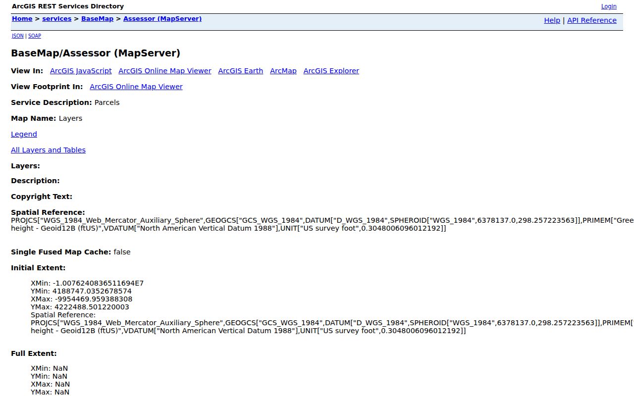
Use the parcel map to relate an address to a parcel record, then verify any legal or ownership question with the Register’s recorded sources.
Bartlett ZIP Code and Address Types
Three labels can appear on the same Bartlett record without conflicting. A situs or property address identifies the parcel location. An owner mailing address is where tax or owner correspondence goes. A legal description identifies a lot, block, subdivision, plat, or tract for a recorded instrument. A document may show parties and a legal description while omitting City or ZIP. The durable sequence is street address to parcel or plat clue, then legal description to recorded document. ZIP is a convenience for confirming or narrowing the search.
- ZIP code
- A postal routing code associated with an address or postal area.
- ZIP+4
- An added four-digit postal segment that narrows delivery routing beyond the five-digit ZIP.
- PO box ZIP
- A postal code used for box service; no Bartlett-specific status was verified for the four mapped ZIPs.
- Unique ZIP
- A ZIP assigned for a single organization or use; no such Bartlett claim was verified here.
- Carrier route
- A postal delivery grouping that does not establish a city boundary or household list.
Note: Postal convenience fields should never replace the parcel’s legal description in a deed or plat search.
Bartlett ZIP Code Boundaries and City Limits
ZIP boundaries are not Bartlett city limits. City Hall’s municipal and MSAG community is Bartlett, but a related parcel composite can show Memphis in an owner mailing field with the same 38134 ZIP. All four ZIP values occur in City map data. Bartlett’s limits grew east and north over decades, with the last annexation effective January 1, 2013. Record jurisdiction can therefore differ by event date even when a present address has a Bartlett postal association.
Boundary check. Treat a ZIP as postal geography. Confirm city jurisdiction with the appropriate city or county record, and confirm land identity through its parcel or legal description.
The Annexation Reserve material describes unincorporated and utility-service geography north of the Loosahatchie River. It is not a ZIP map. Likewise, a postal label does not decide whether a past record belonged to the current Bartlett footprint.
Bartlett ZIP Code Searches and Old Roads
Older records may not carry a modern ZIP value at all. Stage Road is identified in City History as the former Raleigh-Somerville Road, also called Stage. When a modern address or postal code fails in a historical source, compare the old road name, subdivision or plat, Register surveys, historic aerials, and the city-directory street section. The research found no authoritative citywide numerical-renumbering date or crosswalk, so it is better to verify the road and land description than to guess at an earlier number.
For historic household context, the Register’s city directories, maps, surveys, and aerial resources can supplement a ZIP check. They are dated clues, not current resident lists.
Bartlett ZIP Code Directory Limits
Neither a ZIP code nor an address-point count identifies every person connected to an area. Property ownership, tax-mail contacts, voter registration, directory entries, and court parties each answer a limited question. Protected addresses, unregistered adults, nonowners, and dated sources can all leave gaps. Use a discrete request with the correct custodian when a nonexempt government record is needed. Tennessee Public Records Act access applies to Tennessee citizens and remains subject to exemptions and redactions.
The Bartlett City address map is useful for address geography because it stores ZIP and ZIP+4 alongside subdivision, community, county, authority, and status information. It does not document owner or resident fields. The municipal permit map is another address and parcel work-history source, but its documented filters concern date, status, work type, priority, project type, class, and zoning rather than a ZIP-only resident lookup. For older or gated municipal material, a focused request to the relevant city department is the documented fallback.
Use ZIP-based research for lawful personal, family-history, estate, civic, or safety purposes. Do not use information to stalk, harass, or harm another person.