
Finding Bartlett Street Directory Leads
A Bartlett street-by-street search works best as a sequence of address-keyed records. First identify the selected parcel and write down its property address, parcel ID, tax map, subdivision, lot, and plat book and page. Then examine the named owner as a recorded-property lead, not an automatic statement of who occupies the address. The deed index can add the transfer date and parties. For an older period, the regional directory street section can point to a listed household or business, which should be checked against a deed, census, or other period source.
- Enter the street number and street name in the Shelby Assessor or Register property search, leaving direction and suffix off when the form instructs it.
- Select the correct Bartlett parcel and preserve the parcel, tax-map, subdivision, lot, and plat clues shown on its card.
- Use the Register GIS map to select that parcel and individually inspect surrounding parcels when their location matters.
- Search the Register’s official-record index by address with a narrow date range, then use parcel, lot, book and page, or party fields if the address is absent.
- Use GoVoteTN only for its voter-specific purpose, or use the Election Commission’s documented request process when a permissible election record is actually needed.
- For a historic Bartlett address, browse the appropriate directory year and street section, then pair its listing with deed or census evidence.
This street directory workflow keeps a modern map result from being mistaken for a historical answer. It also gives a clear fallback when one form does not recognize an older address style.
Bartlett Assessor Searches by Address
The live Shelby Assessor form separates address, owner, business, and parcel searches. Its address form asks for Street Number and Street Name. Its owner form uses First Name and Last Name. Business Name and Parcel Number are separate text modes. The form does not mark those inputs required, and it tells address users to omit street direction and suffix. That formatting detail matters for a Bartlett street directory search where the current address is known but a full string does not resolve.
The Shelby Assessor property-search form is the official screen for these address and parcel entry choices.
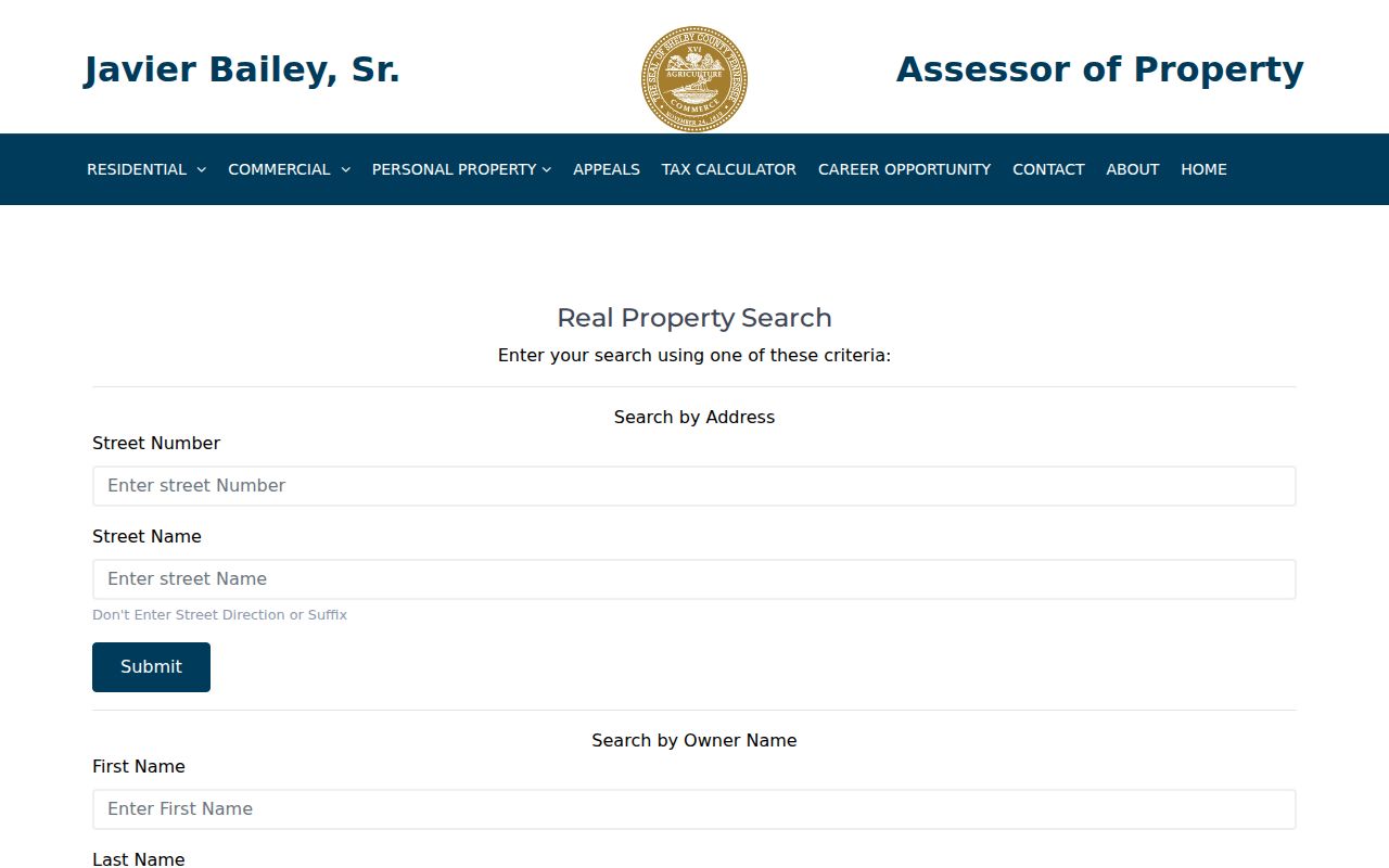
A selected Assessor result visibly labels Property Address, Parcel ID, Owner Name, 2025 Appraised Value, and links to assessment, deed, county-tax, and city-tax detail. The fully expanded card was not available for complete field inspection, so do not infer fields that the public screen does not show.
| Assessor field or mode | Input | Verified Bartlett use |
|---|---|---|
| Street Number | Text | Part of the street-address form. |
| Street Name | Text | Part of the street-address form; omit direction and suffix. |
| First Name / Last Name | Text | Owner-name search. |
| Business Name | Text | Separate business search. |
| Parcel Number | Text | Return to a known parcel. |
Bartlett Register GIS Parcel Cards
The Shelby Register GIS is the main map-facing companion to an Assessor result. It accepts street number and street name, owner name in FirstName LastName order, parcel ID, or tax-map ID. It also lets the researcher click a parcel on the map. The selected card can display owner name, property address, parcel ID, appraisal, tax district, tax map, year built, lot number, subdivision, plat book and page, dimensions, total acres, owner address, class, use, and map coordinates.
The Shelby Register GIS viewer is the source for map-based Bartlett parcel selection and surrounding-parcel context.
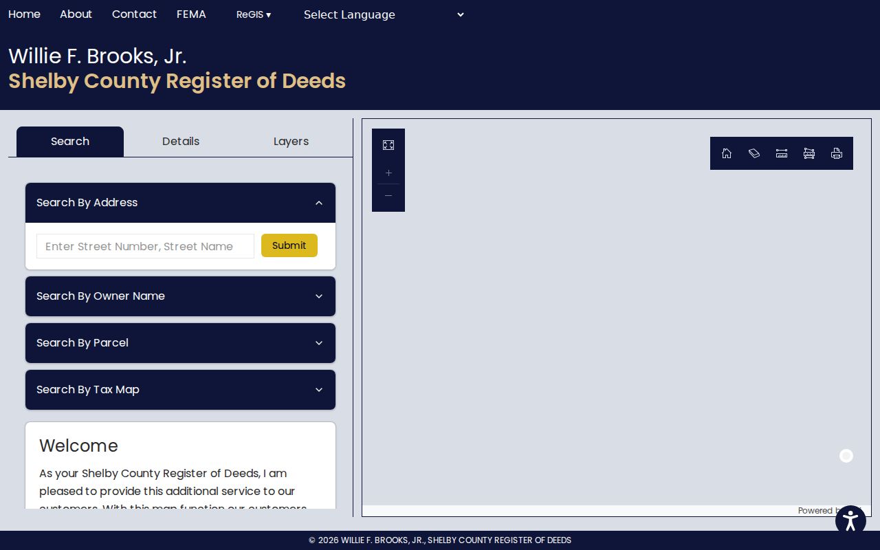
Read Property Address and Owner Address as different fields. The first is the parcel location, while the second is a correspondence field that may be somewhere else. The Register warns that its combined maps and property data reflect the April 2019 certified tax roll and are informational, not a legal survey or exact boundary decision.
Note: Use map adjacency to select parcel IDs, then obtain any boundary or title conclusion from the recorded plat, survey, or appropriate custodian.
Bartlett Street Directory Deed Searches
Once a Bartlett address yields a parcel, the Register’s address mode can move the street directory trail into recorded documents. Its instructions say to leave direction and type off, so use `MAIN` rather than a fully formatted street string. Apply a date range. If no document appears by address, try parcel ID without spaces or dashes, subdivision and lot, party name, instrument number, or book and page. Not every recorded instrument supplies a street address, city, ZIP, or subdivision field.
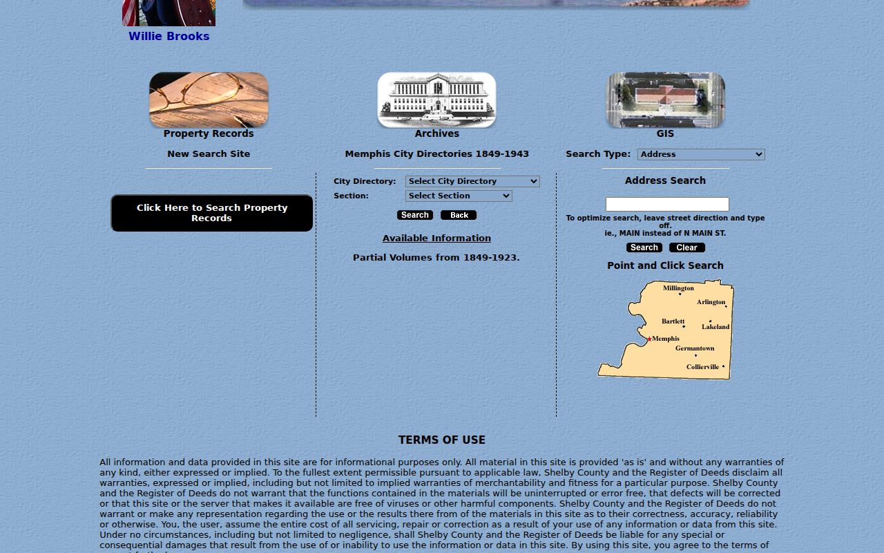
The Shelby Register archive and record-search interface demonstrates the address, party, parcel, instrument, book, page, city, and ZIP search concepts documented for the county collections.
A grantor is the party transferring an interest, while a grantee receives it. To trace a confirmed purchase backward, find the seller as an earlier grantee and repeat with the parcel or legal-description clues. The Register records documents but does not conduct a title search for the requester.
Bartlett Street Records by Address
Address-keyed Bartlett systems should be used for the narrow fact each one supports. A parcel card ties a selected parcel to owner, appraisal, and legal-description clues. GIS adds map placement and surrounding parcels. The deed index adds recorded parties and transfer sequence. The City permit system captures project activity, while the City address map supplies geography. Historic directories can give a printed street listing for a specified year. Together they are a more useful street directory chain than any single screen.
| Address record set | Keeper | Street-related result | Access limit |
|---|---|---|---|
| Parcel / property card | Shelby Register / Assessor | Owner, situs, parcel, appraisal, map clues | Viewer includes a data-date warning. |
| GIS parcel layer | Shelby GIS / Register | Selected and surrounding parcels | Informational map, not a survey. |
| Recorded-document index | Register of Deeds | Parties, instruments, dates, legal clues | Street and ZIP fields can be absent. |
| City permit map | Bartlett Code Enforcement | Address or parcel project activity | Details and access vary by record. |
| City address portal | City of Bartlett | Address points, ZIP, subdivision, city limits | Geographic data only. |
| Historic directory street section | Shelby Register archive | Listed householder or business by year | Not complete household or ownership proof. |
The city’s GIS and permit systems are useful for geography and work history. They do not turn a street directory into a complete resident roster. A parcel ID and legal description often provide the most stable bridge between a current street name and an older recorded document.
Bartlett Permit History by Address
Bartlett’s permit portal is a municipal, address-oriented source for work at a parcel. Existing permit search is split into pre- and post-April 11, 2024 cohorts. The permit map offers Permit Number, Parcel Number, and Address search types, plus start and end date, work status, work type, priority, project type, class, and zoning filters. It also offers recent 30-, 60-, and 90-day map views. This is evidence of a project record, not evidence of a household.
The Bartlett permit parcel map displays its address, parcel, date, work-status, project-class, and zoning filters.
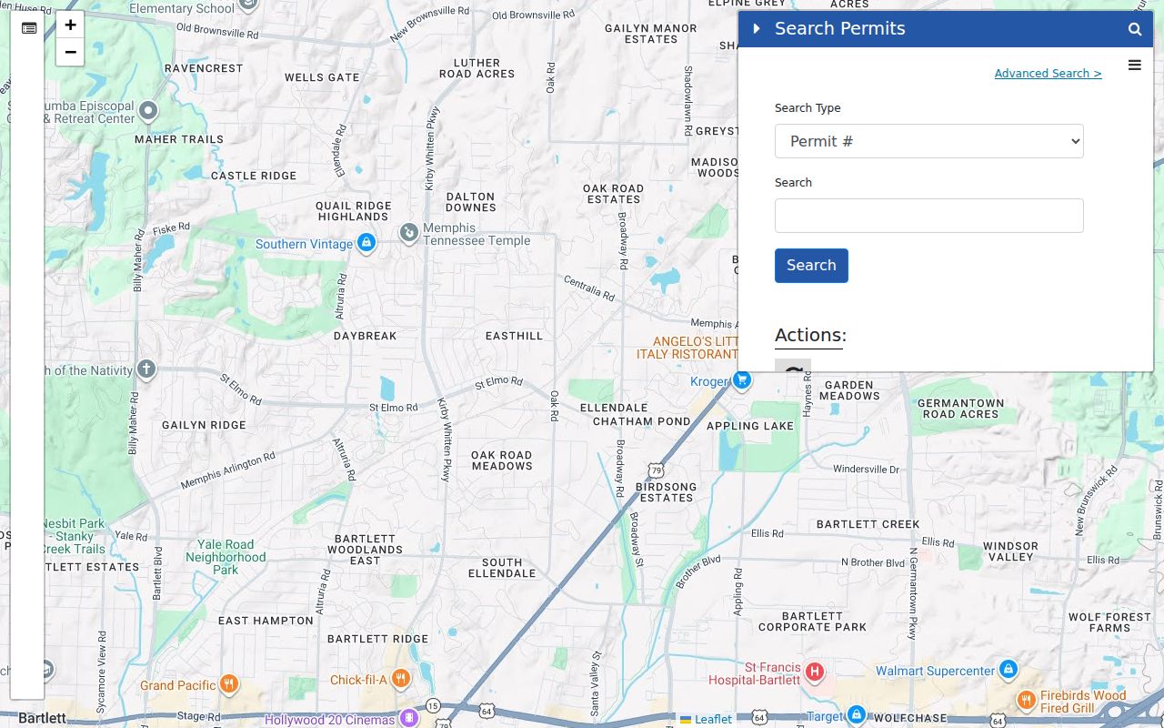
Visible permit results can include permit number, date, permit type, primary contractor, project type, description, and work status. A contractor access code is required for the inspection-request route, and a project or contractor name should not be read as a statement about all people connected to the address.
Bartlett Street Directory Field Meanings
Address records use terms that look alike but do different work. Understanding them prevents a Bartlett street search from joining the wrong parcel, mailing field, or historic directory entry. The official GIS card separates a property address from an owner address, and its plat and lot fields connect a familiar street address to the land description used by recorded documents.
- Parcel
- A defined piece of land identified by an assessment or map system.
- Situs address
- The physical property location shown as the property address on a parcel record.
- Plat
- A recorded map that identifies lots, blocks, or subdivision layout; its book and page can anchor a deed search.
- Criss-cross directory
- A reverse street section that goes from an address to a listed householder or business in one dated volume.
The County ArcGIS Assessor service exposes a parcels layer and owner-details table, but the verified consumer workflow is selecting parcels one at a time. No public bulk radius or neighbor-list control was found, which is an important limit when researching Bartlett streets.
The Shelby County Assessor map service documents the parcels layer and owner-details table that support the viewer.
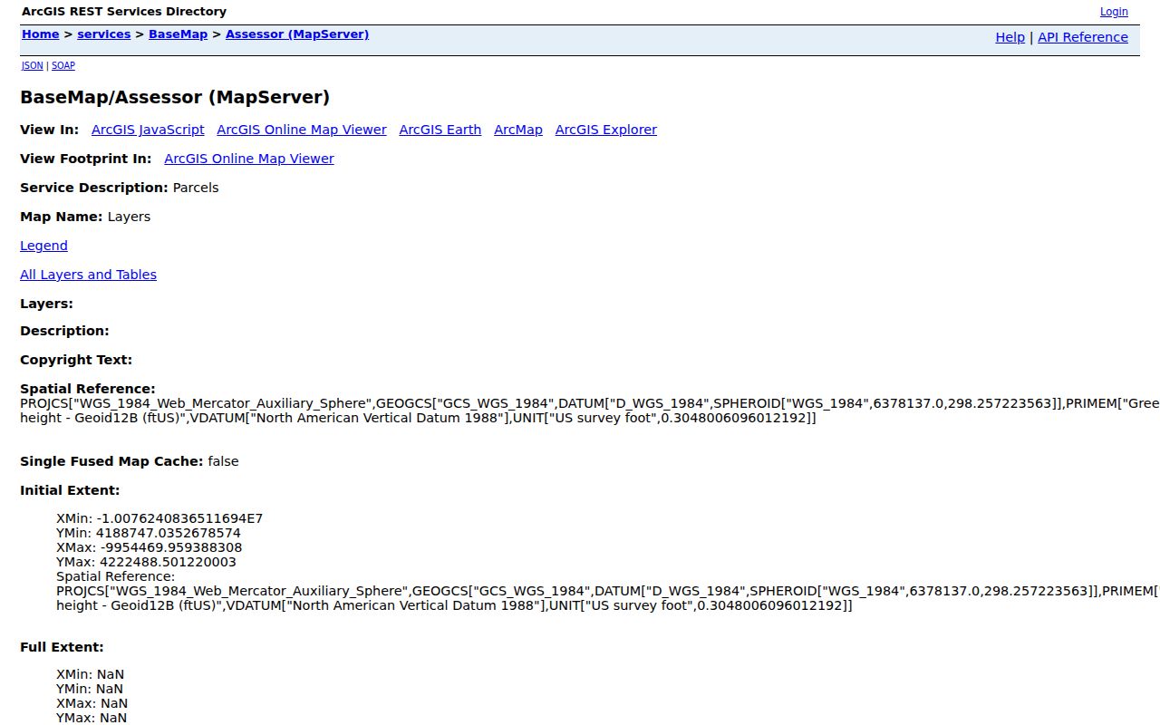
The service supports parcel geography and field context. It does not replace the recorded plat or survey for an exact legal boundary.
Stage Road and Bartlett Boundaries
Old street research needs a local geography check. City History identifies Stage Road by its earlier Raleigh-Somerville Road reference. Bartlett grew east and north through migration and annexation, with the final annexation effective January 1, 2013. An address now associated with Bartlett may have sat outside city services or city limits when an older record was made. That is a jurisdiction question, not proof that a street was renumbered.
No official citywide numerical-renumbering crosswalk was found. When an older Bartlett street entry does not match a current address, compare its plat or legal description, historic map or aerial, directory street section, and county record rather than inventing a modern-number conversion.
Historic Bartlett Street Directory Listings
The Register’s digitized Memphis City Directories run from 1849 through 1943 and are the documented historic address-to-listing source for the Bartlett area. Browse a year, then its section and alphabetical selection. The street section is the reverse route from address to a listed householder or business, while the alphabetical section runs from name to address. Coverage is regional, so an absence does not establish that a Bartlett address had no occupant or that the volume included every household.
A 1943 R. L. Polk entry can include a name, relationship notation, work or organization clue, home address, and sometimes a telephone listing. Pair it with a deed chain, census geography, or archive material for the relevant period. The broader historical collection and its publisher years are available through the Bartlett city directory collection.
Note: A dated directory entry can be a strong historical lead, but it does not by itself establish title, continuous occupancy, or everyone associated with a street address.
Bartlett Voter Data Is Not a Street Roll
GoVoteTN does not publish a browseable Bartlett street directory. It uses a voter name and ZIP or a street address and ZIP to return voter election information. Tennessee registration records have a public-access rule for Tennessee citizens, but sensitive identifiers are excluded and Safe at Home participants receive special protection. Not every adult is registered, so no voter result can serve as a full block or household conclusion.
Shelby County Election Commission has a separate voter-list and map request form for permissible district products. It requires requester details, Tennessee residency, and political-purpose certification. The documented form offers district voter names and addresses in XLSX for $18, Voter Registration All Details in CSV or XLSX for $40, and a blank district map for $10. Its statutory limits and protected records still apply.
Limits of the Bartlett Street Directory
The Bartlett street directory can connect a selected address to public parcel, recorded-party, project, or historic-listing evidence. It cannot reveal a complete group of people who live along a street. Nonowner household members may not appear in parcel or deed records. Protected voter data is handled under separate rules, driver and vehicle data are closed by federal and Tennessee law, and utility customer data are not a public neighborhood directory. A missing result can reflect the source’s purpose rather than a person’s absence.
Use records to answer a defined, lawful question: property history, family history, estate work, civic information, or address geography. Confirm important facts with the agency that holds the record. For a current named-person question that has moved beyond an address, use the appropriate person-focused county record rather than forcing a street search to do work it cannot support.